


Related Specialisms
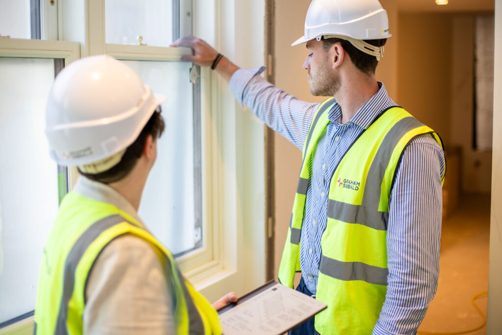
Building Surveying
If you are looking for a Building Surveying team who can help you maximise the value of your property and minimise your costs and liabilities, then we are the team to come to.

Councils
We have particular expertise providing surveying and property services to councils and other government agencies and are retained by many leading local authorities.
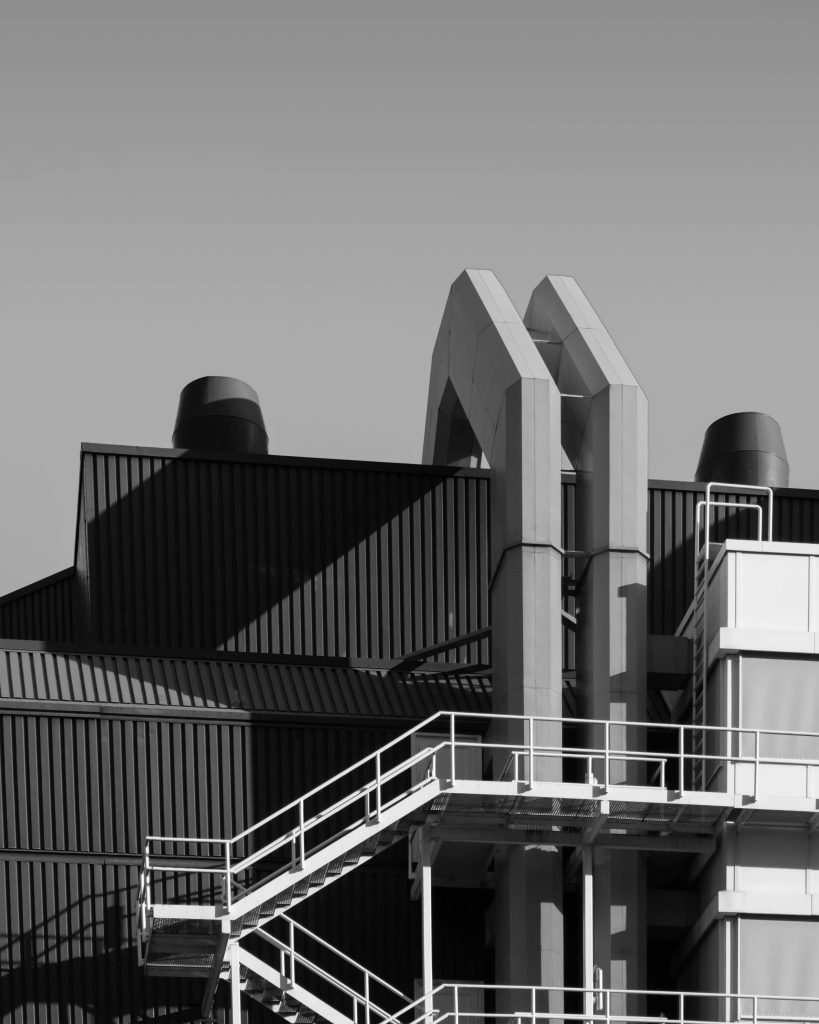
Industrial
As one of the leading property consultancy companies working in the Industrial property sector we can help you whatever your requirements.
Related Services

Carbon + Sustainability
If you are conscious of your businesses carbon footprint and are looking to work towards your energy and sustainability goals, speak to our team.

Construction EPCs
If you're looking for a fast and cost-effective Energy Performance Certificate service for a commercial property, our team is the one to contact.

Residential EPCs
If you are looking for a fast and cost-effective Energy Performance Certificate service for a residential property, then our team is the one to contact.
